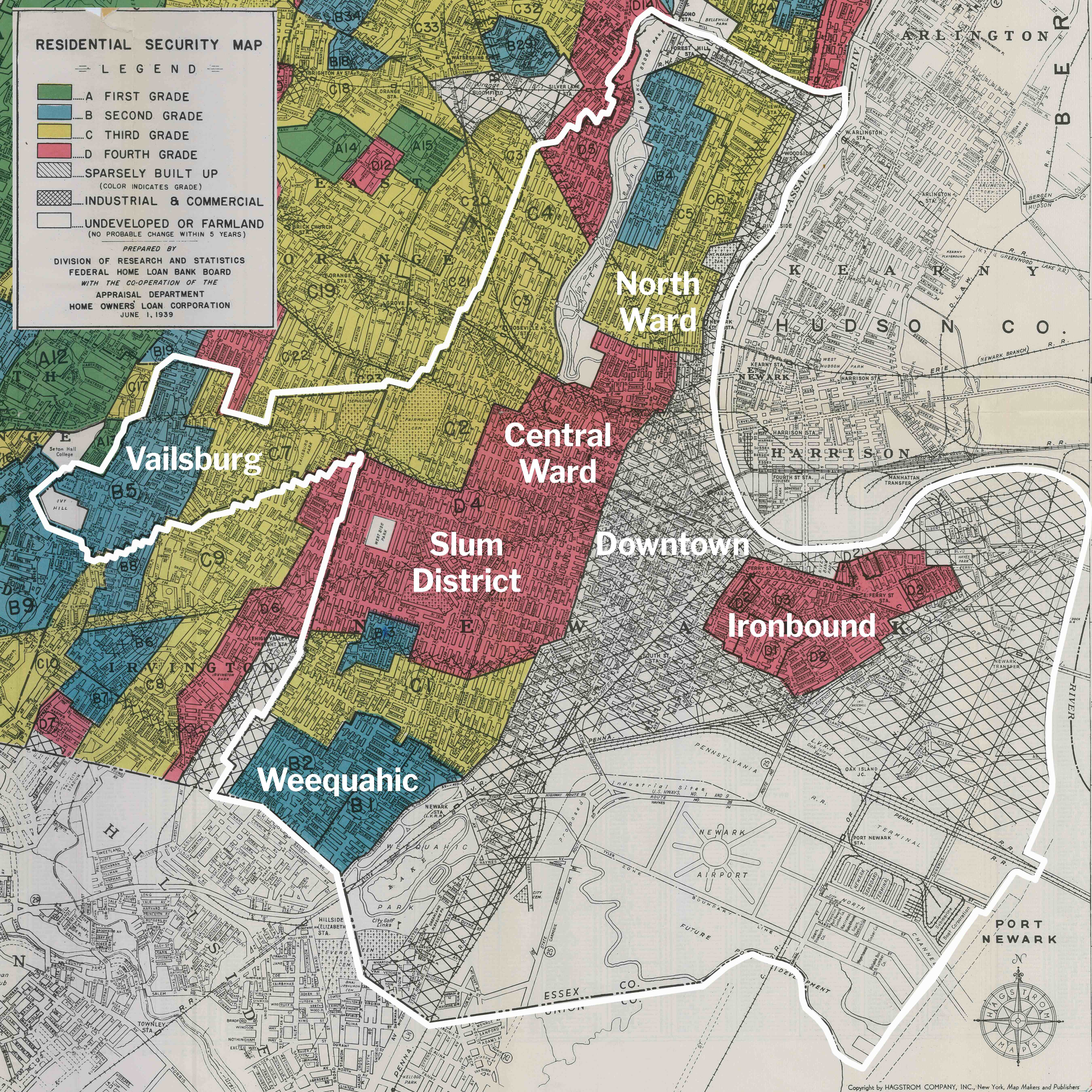
Weequahic in 1960, before Interstate 78:
.

Click image to view high-resolution photo of your old home.
Weequahic in 2020, photo from the identical location:

1960 aerial view of Weequahic neighborhood documented by Dr. Berg. Almost all buildings in this area were demolished for Interstate 78.
Source

Travelers' Map is loading...
If you see this after your page is loaded completely, leafletJS files are missing.
If you see this after your page is loaded completely, leafletJS files are missing.