Travelers' Map is loading...
If you see this after your page is loaded completely, leafletJS files are missing.
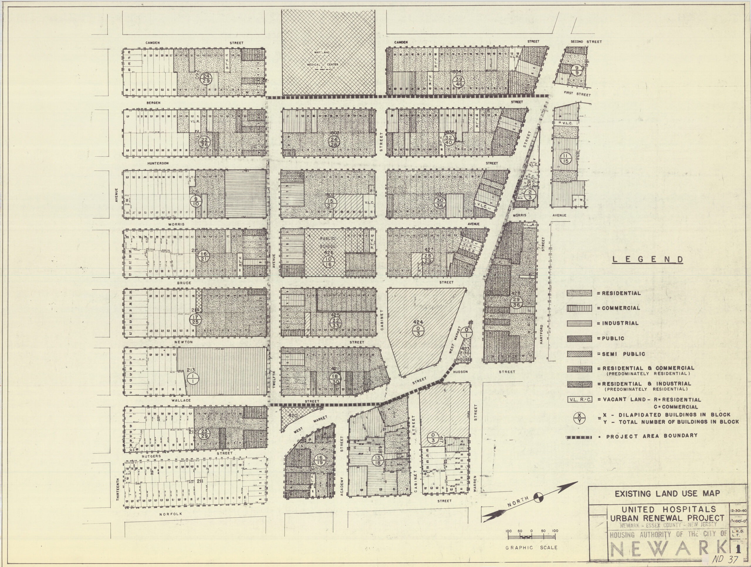
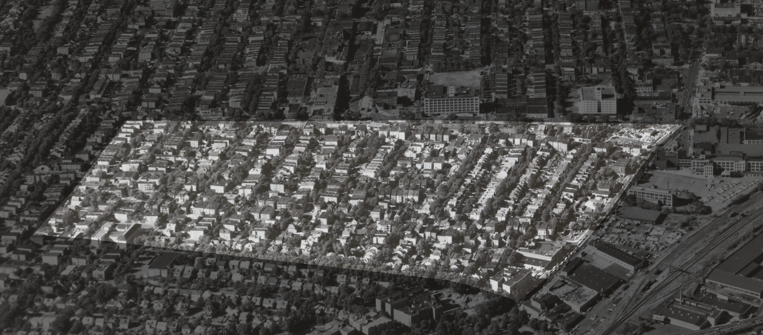
Map of the neighborhood cleared to build the UMNDJ campus. As the first step in preparation for urban renewal, this survey map was created in 1960 of all property owners, property values, and property lines. Based on this map, the extent of the urban renewal area was determined and communicated to demolition crews.
4,464 people displaced in 1961
representing 925 families
705 of color (76%)
220 White (24%)
Plus an additional 3,163 people after the 1967 rebellion, creating a total of 7,627 people displaced
$26,291,000 in federal funds and
$7,408,000 in city funds
cleared 141.7 acres.
Source
For the university campus that now occupies this site, about 80% of the land is given over to empty space and surface parking.