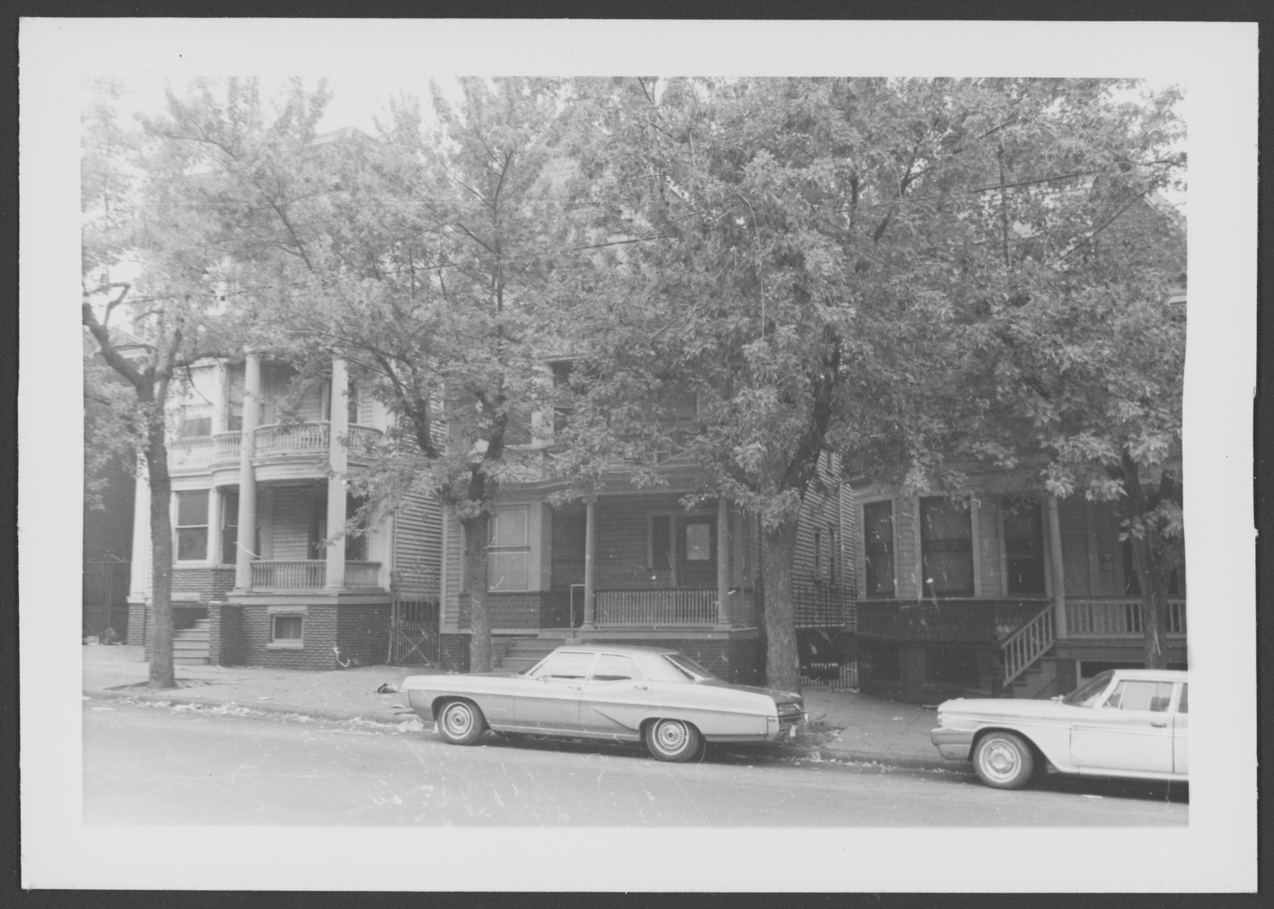
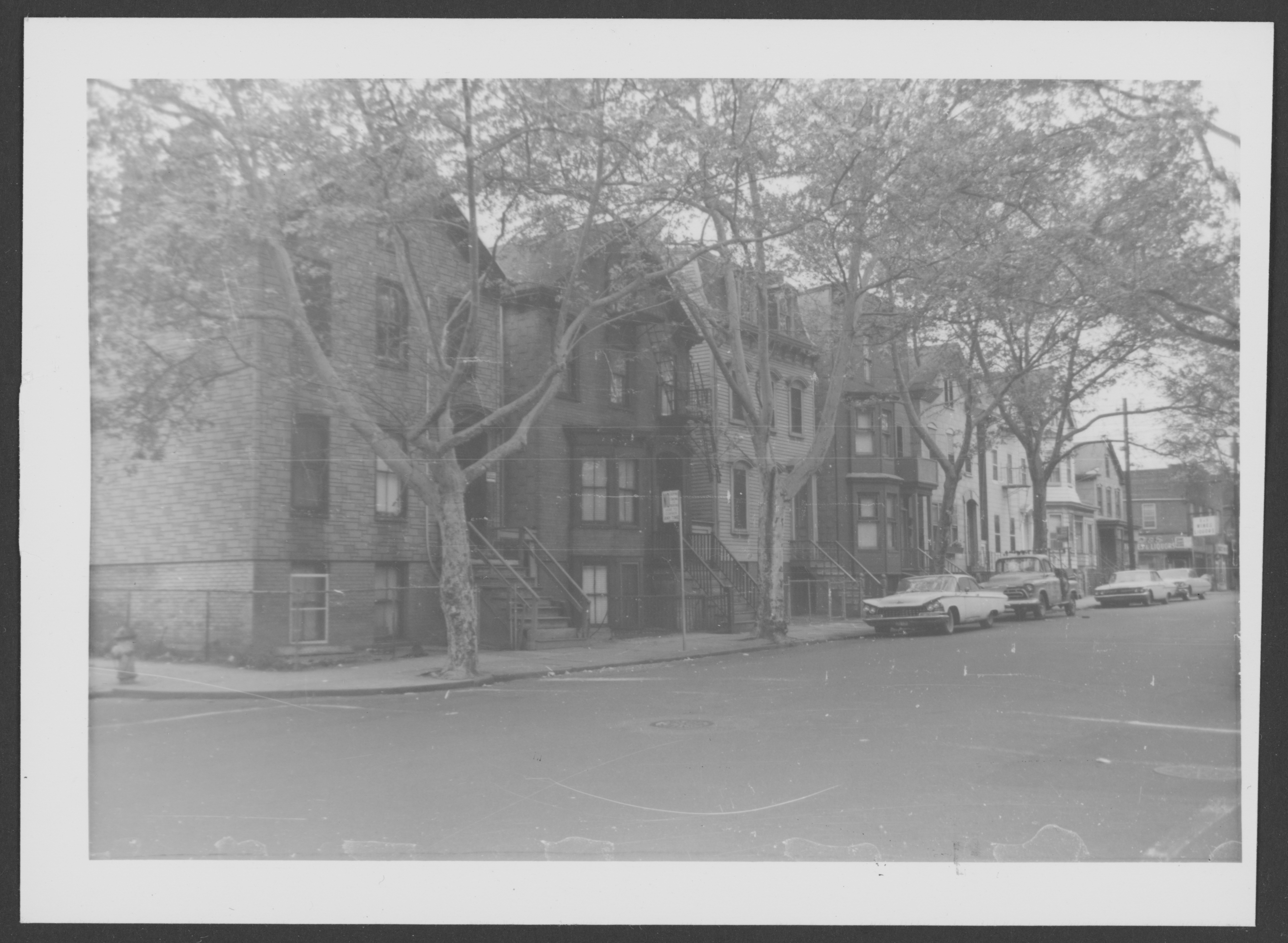
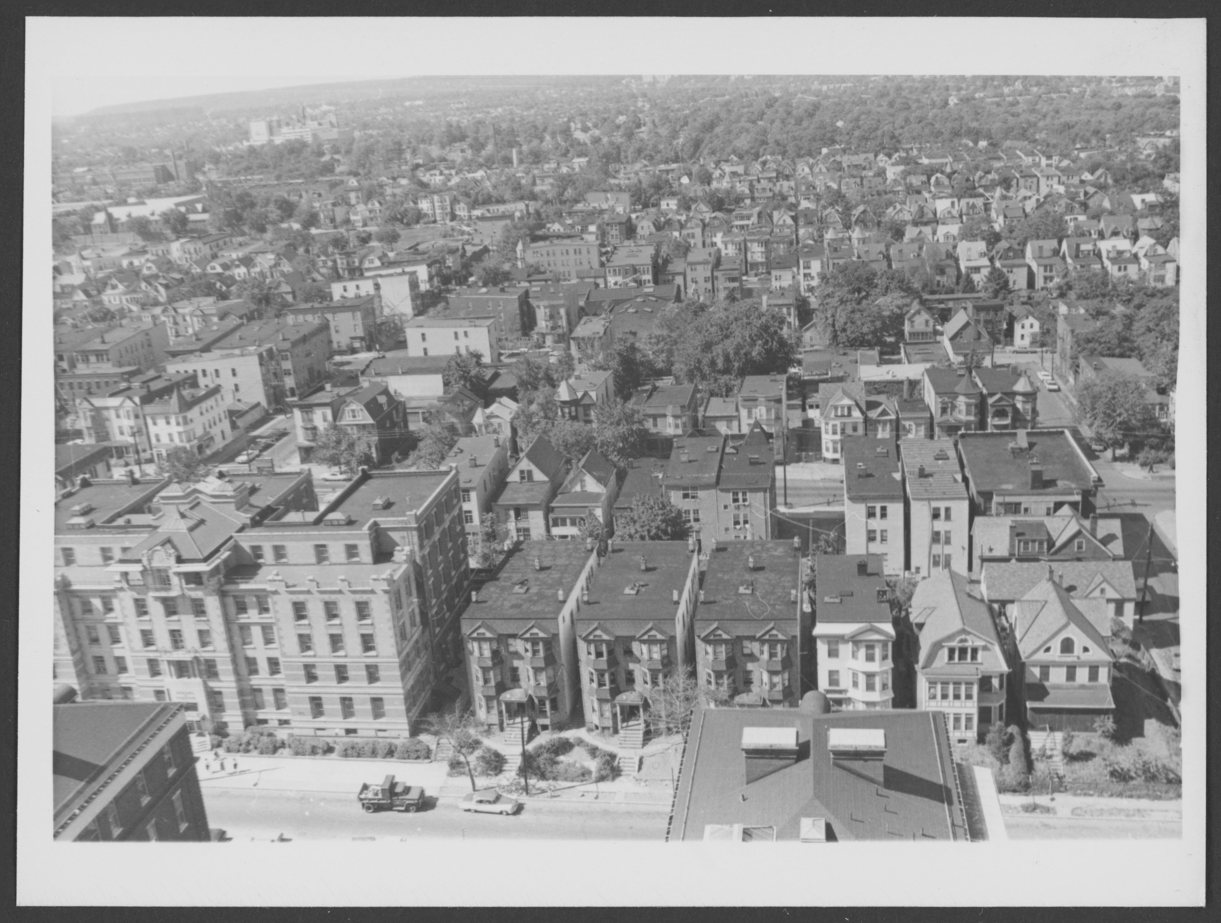
The Belmont neighborhood on June 18, 1961
Looking down southeast from 10th floor Martland

.
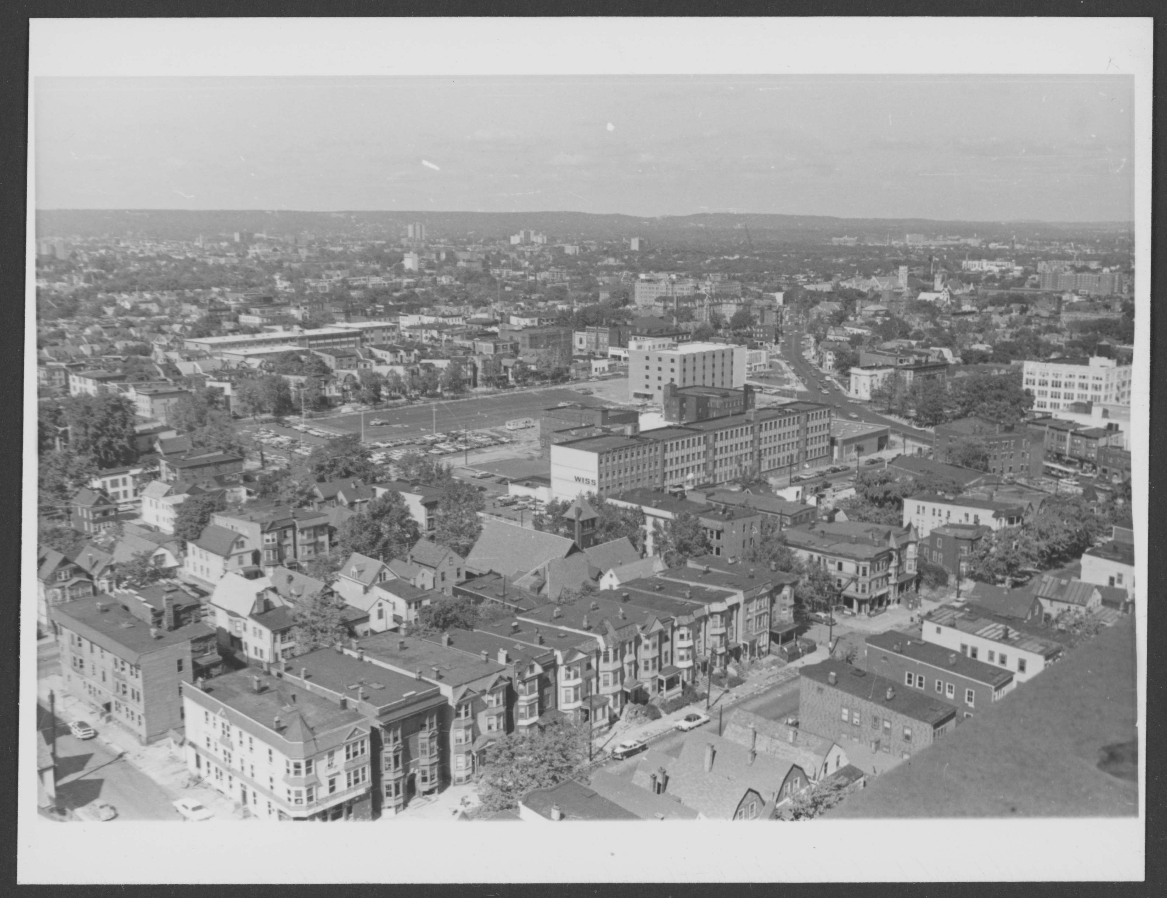
And the identical view on September 24, 1967
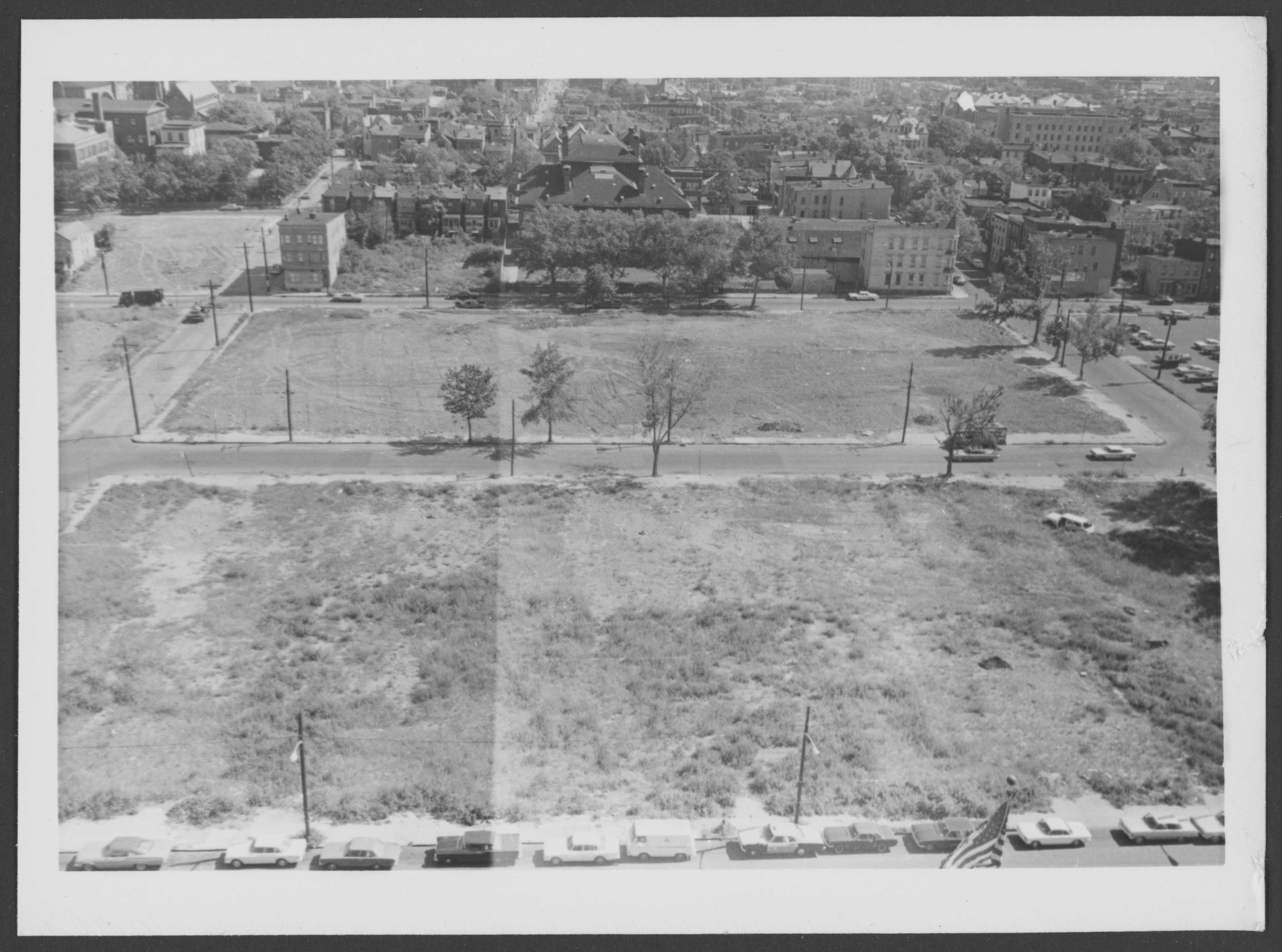
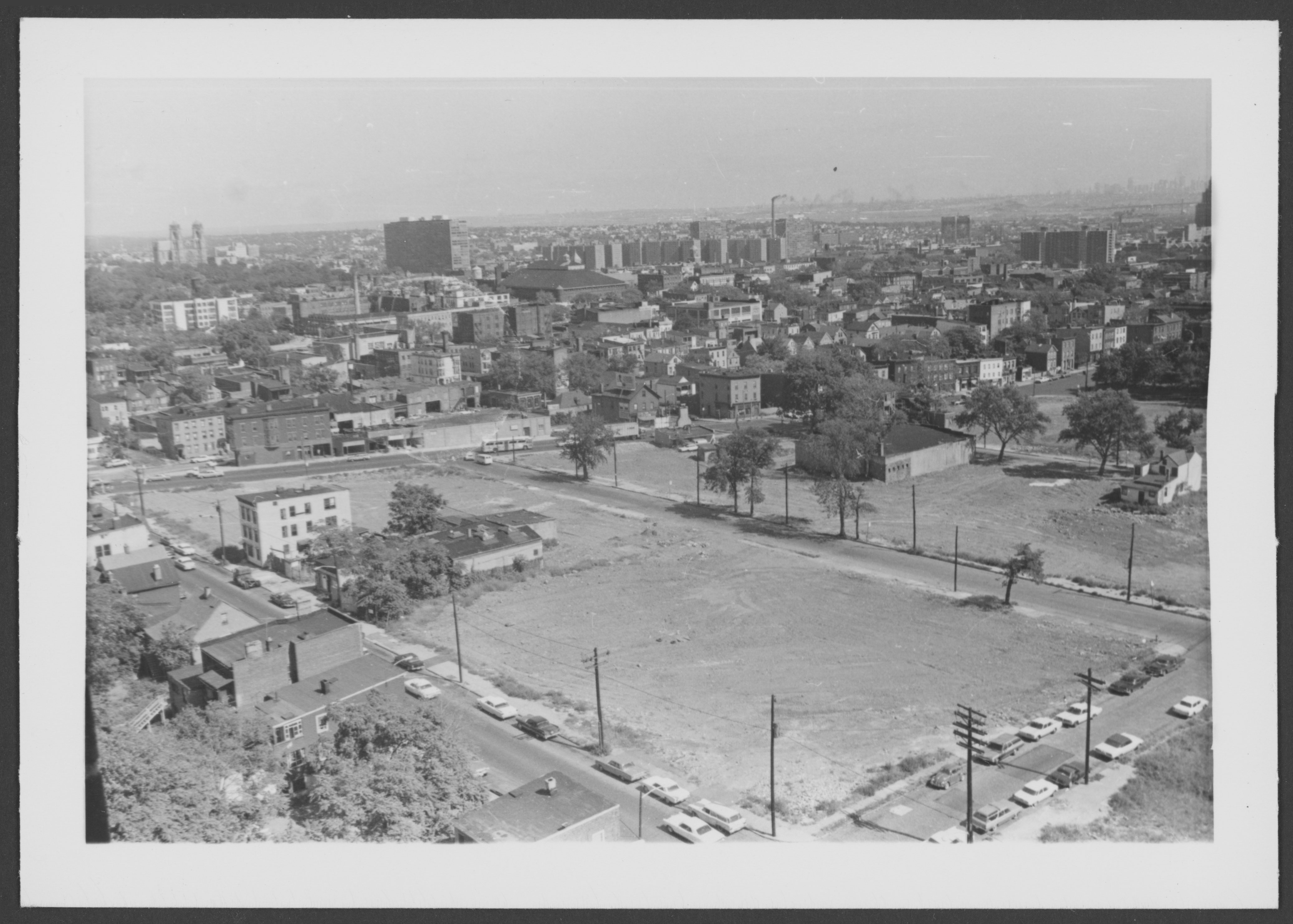
Looking east from roof City Hospital, leveled area Cabinet Street (left) to 12th Avenue (right), Bergen St (foreground) to Morris Avenue (distance)
.
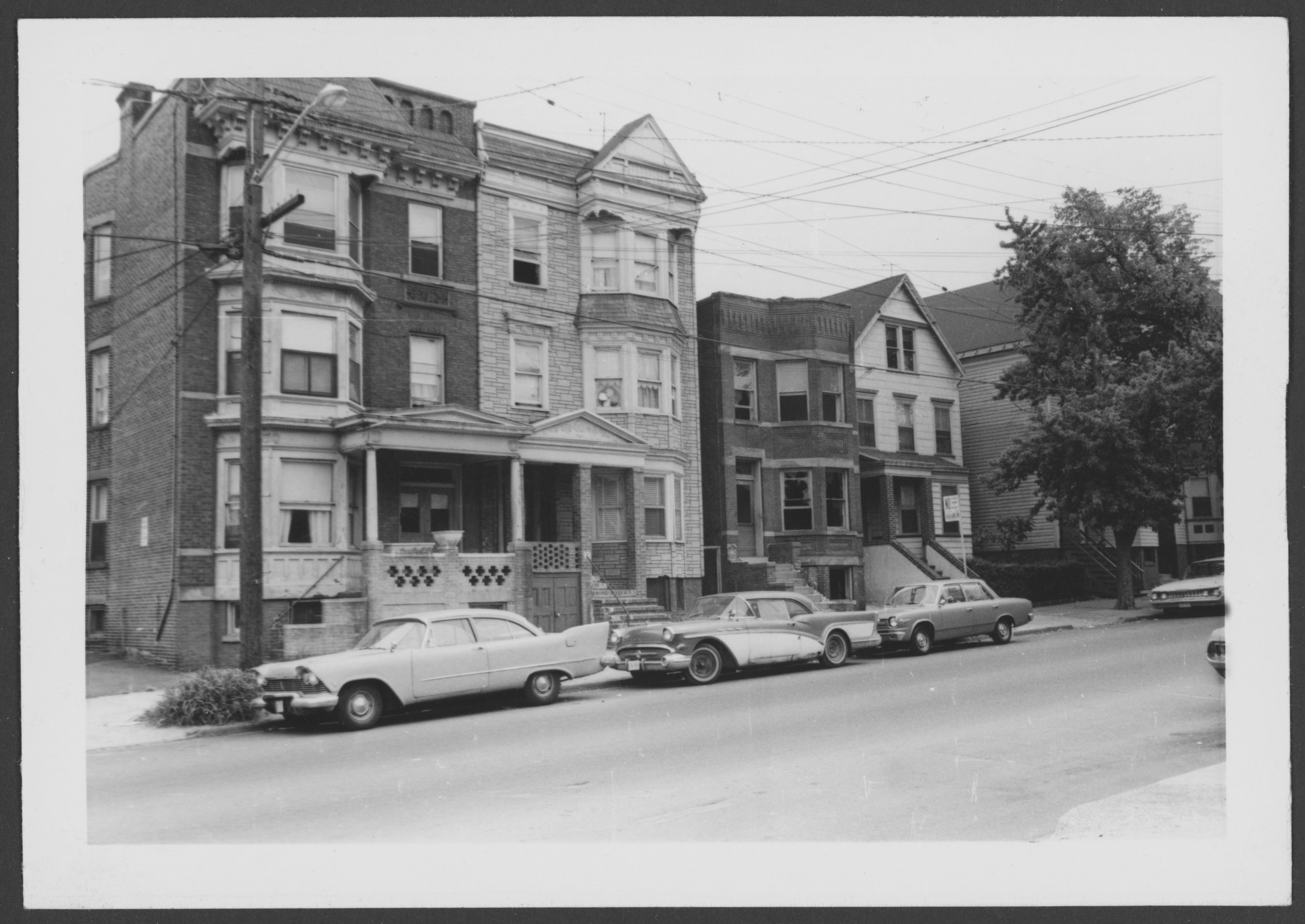
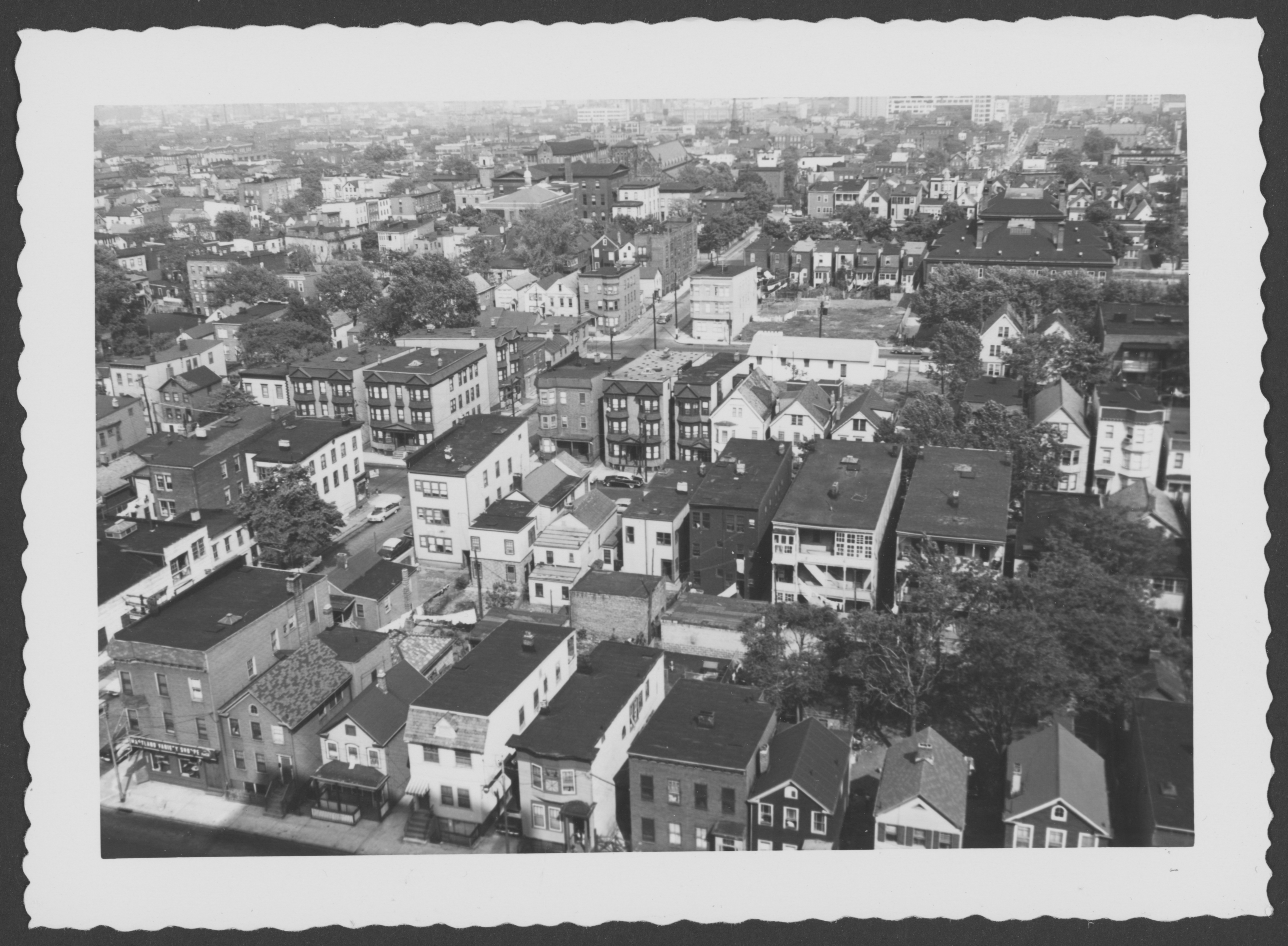
The Belmont neighborhood on June 18, 1961
Looking down northeast from 10th floor Martland
.
And two identical views on September 24, 1967
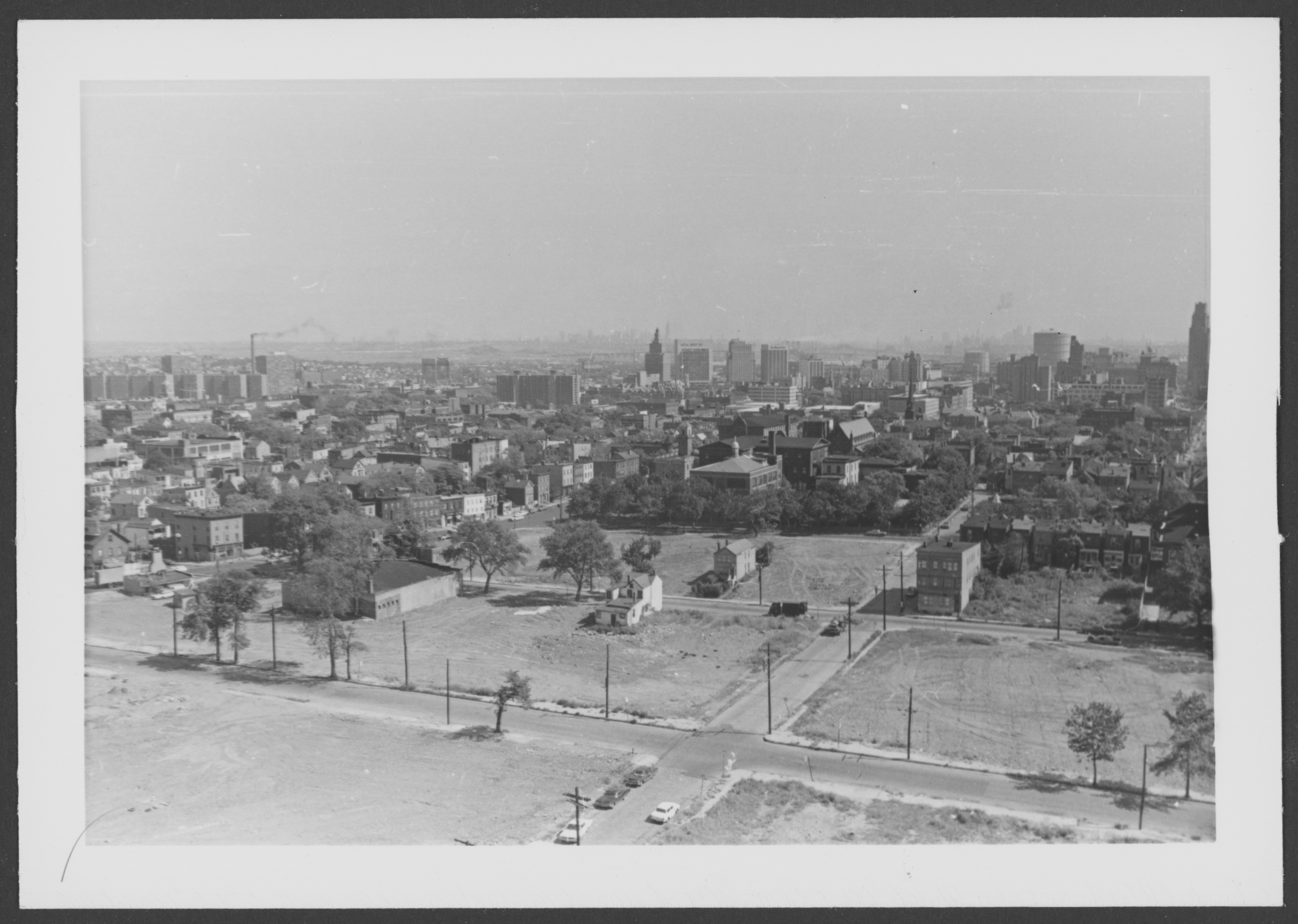
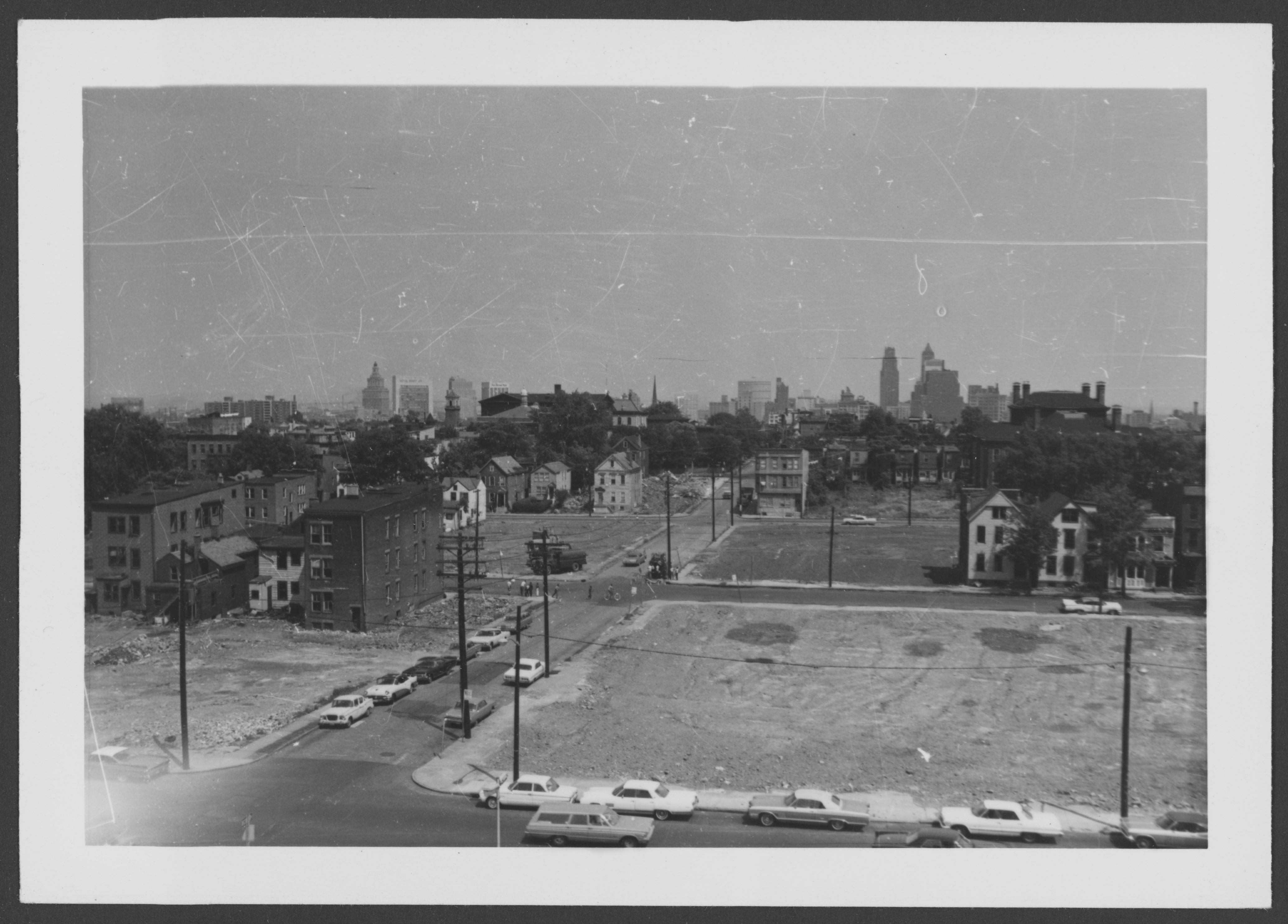
Looking northeast from roof City Hospital, leveled area Hunterdon Street (foreground) to Bruce Street (distance, West Market Street (left) to Cabinet Street (right)
.
Looking northeast from roof City Hospital, leveled area Bergen Street (foreground) to Morris Avenue (distance), West Market Street (left) to Cabinet Street (right)
.
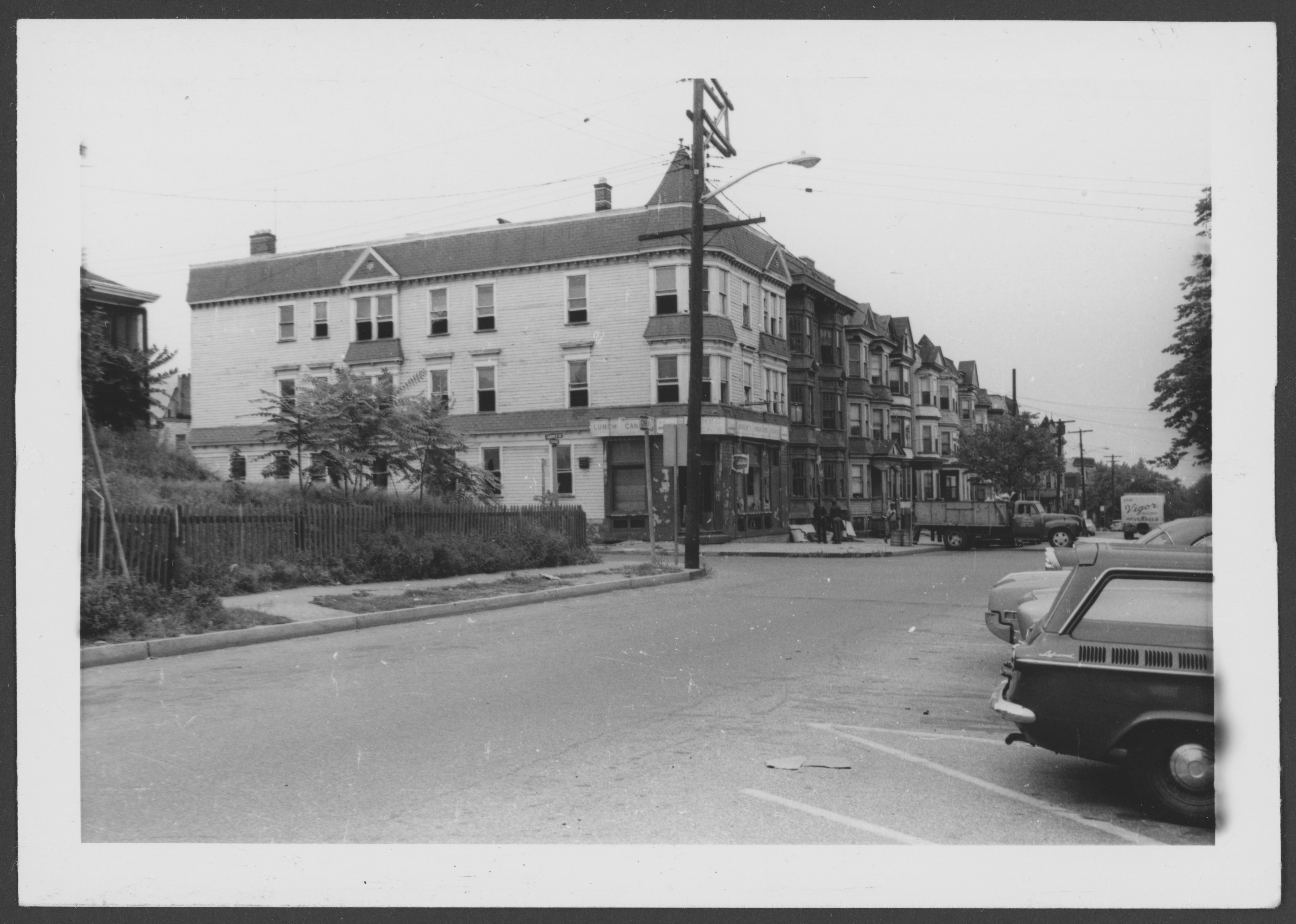
Further demolition in 1967 for UMDNJ
Looking northeast from City Hospital
.
Looking down southeast from 10th floor Martland
.
Looking down southeast from 10th floor Martland
.
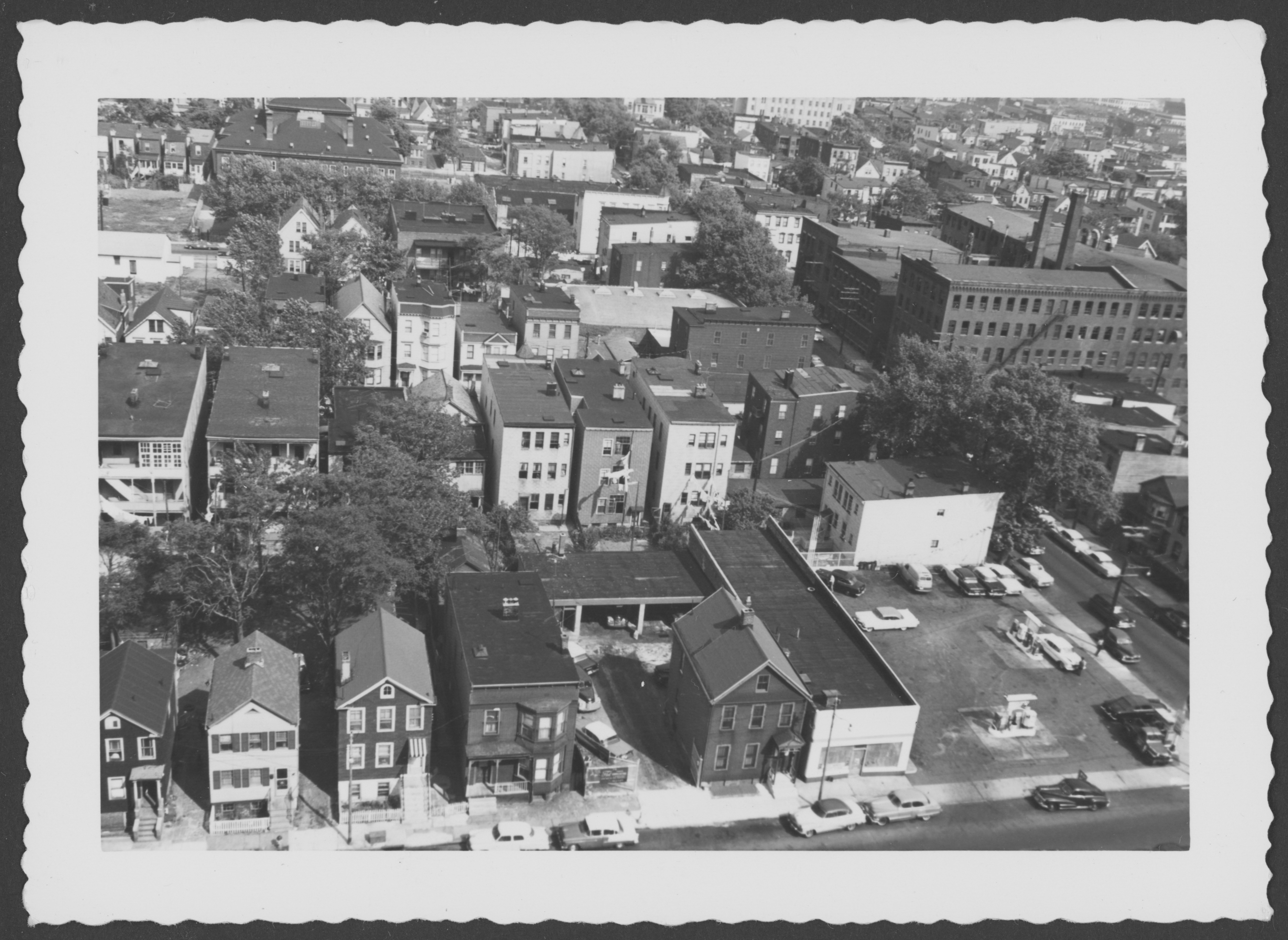
Looking west from roof City Hospital, Fairmount Avenue (foreground) between 12th Ave (left) and Cabinet (right)
.
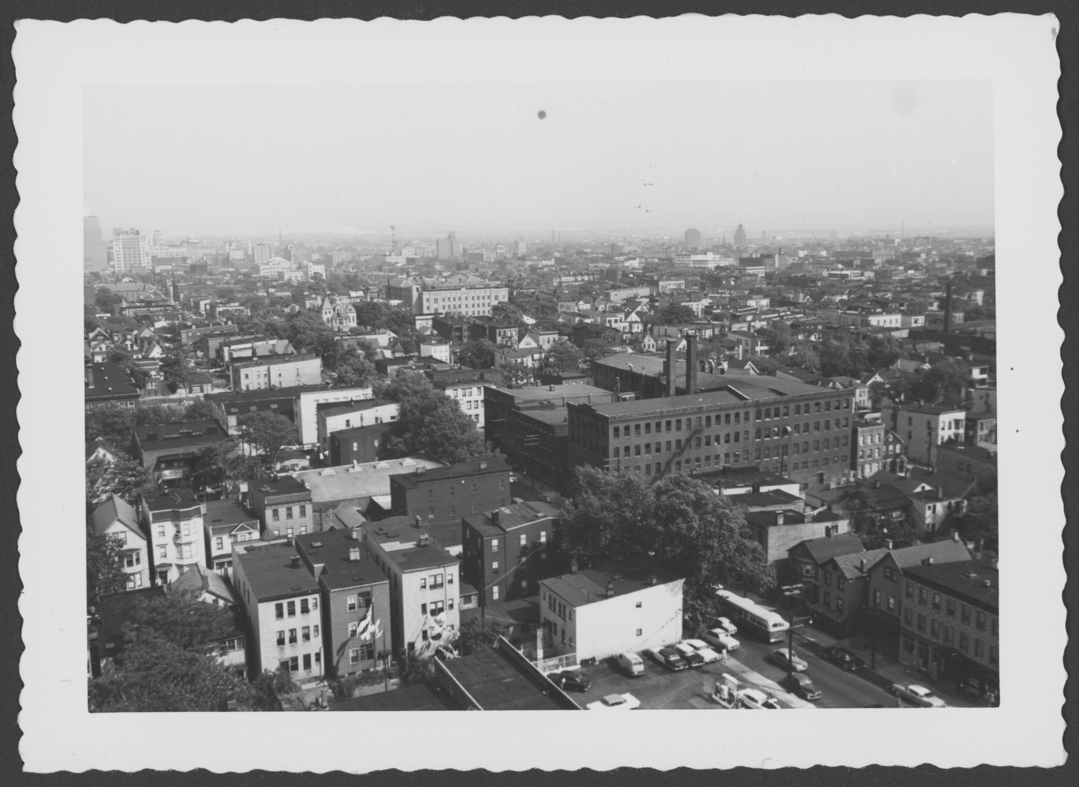
Fairmount Ave (foreground), Cabinet Street (lower left), Wiss Factory (center distance), West Market (upper right)