S side Edison Place looking SE from NW corner Mulberry

Robert Singer writes:
“My father owned a business around the corner from here on Market Street. I used to shop here on Mulberry Street when I was a teenager. As you rounded the corner from Market to Mulberry, the street was full of old industries, bargain shops, and the like. All of it is long since gone.”

B’Nai Zion Synagogue #541 West Market corner of Humboldt is now this location on I-280.

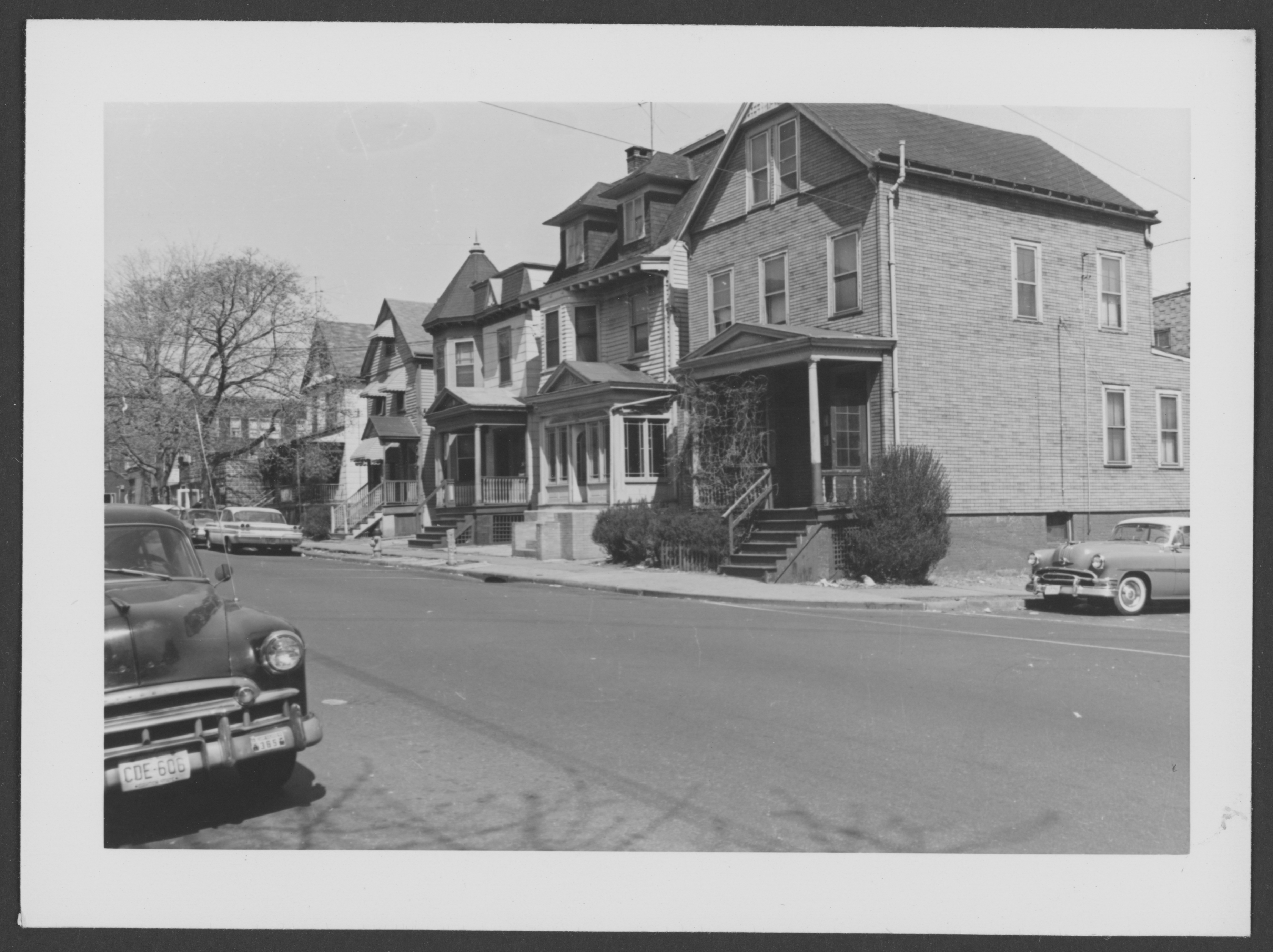
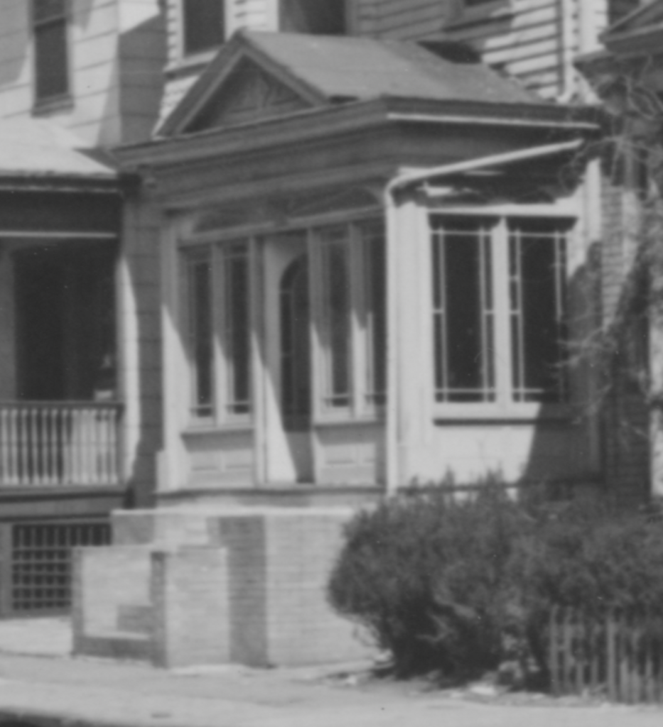
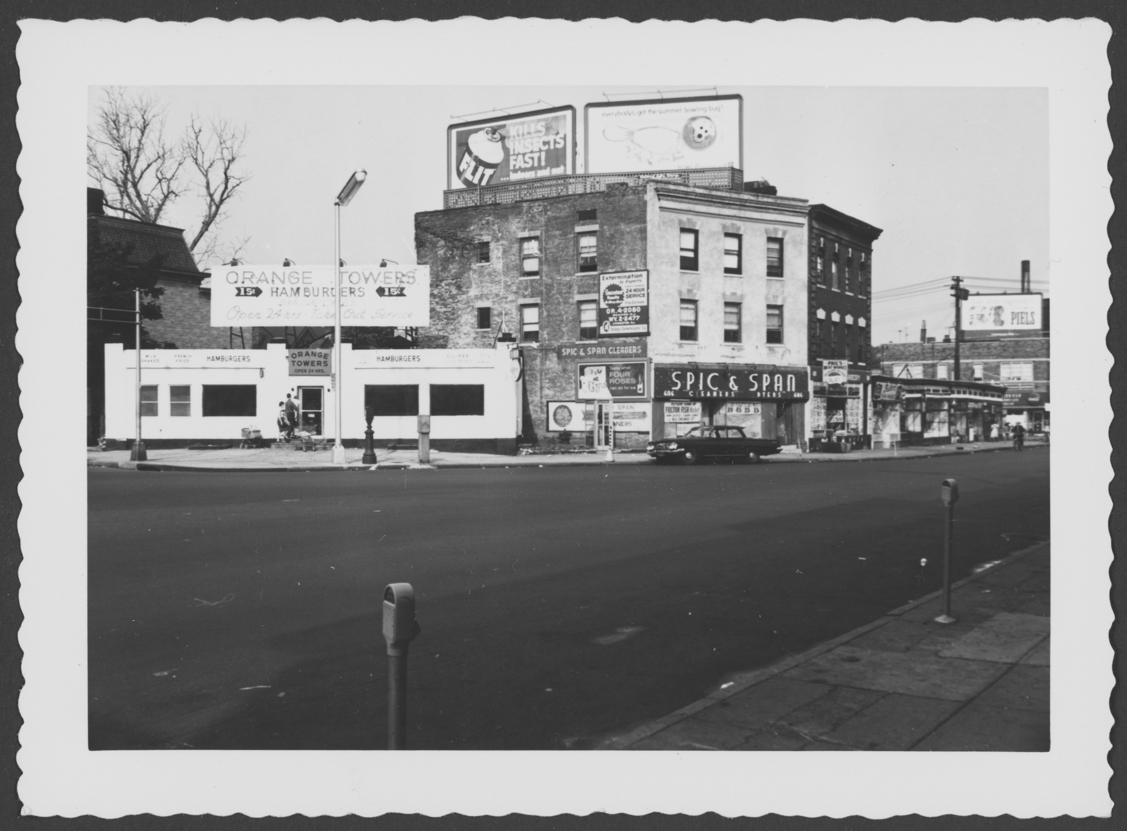
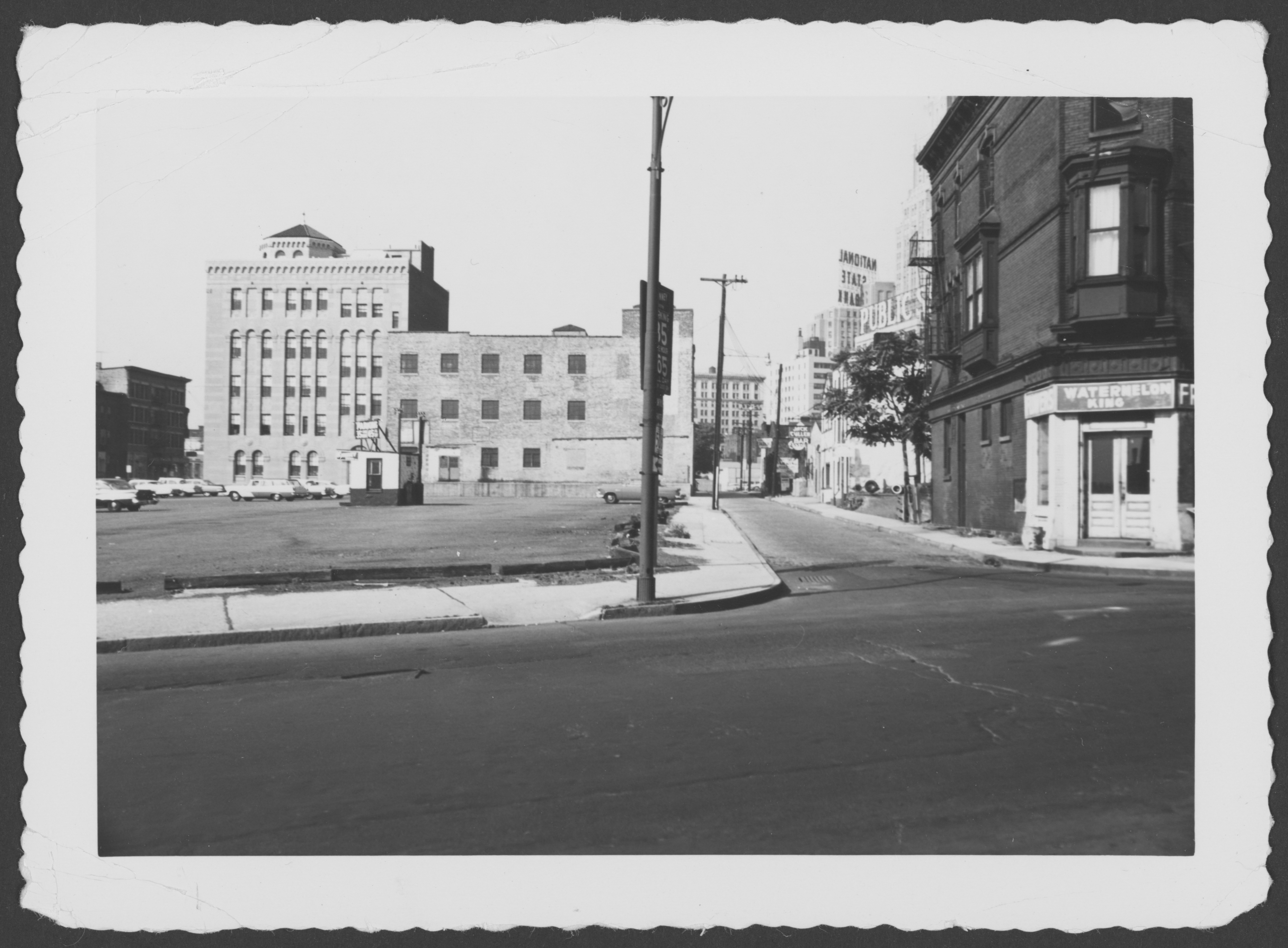
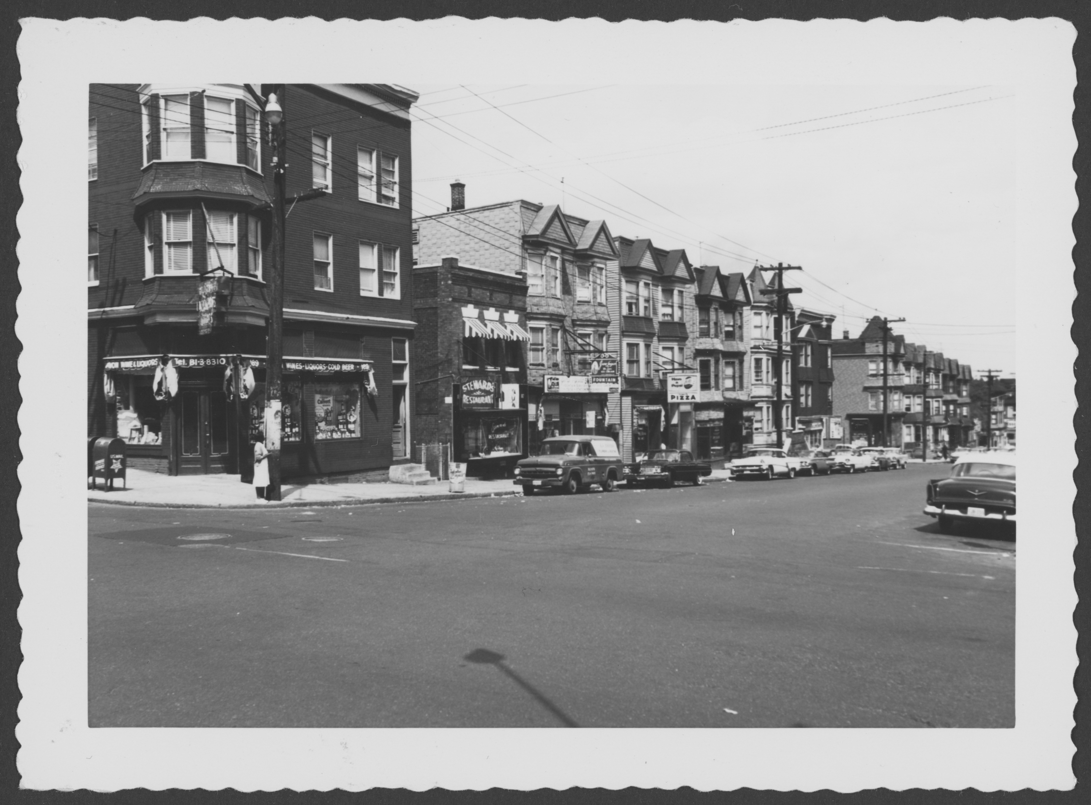
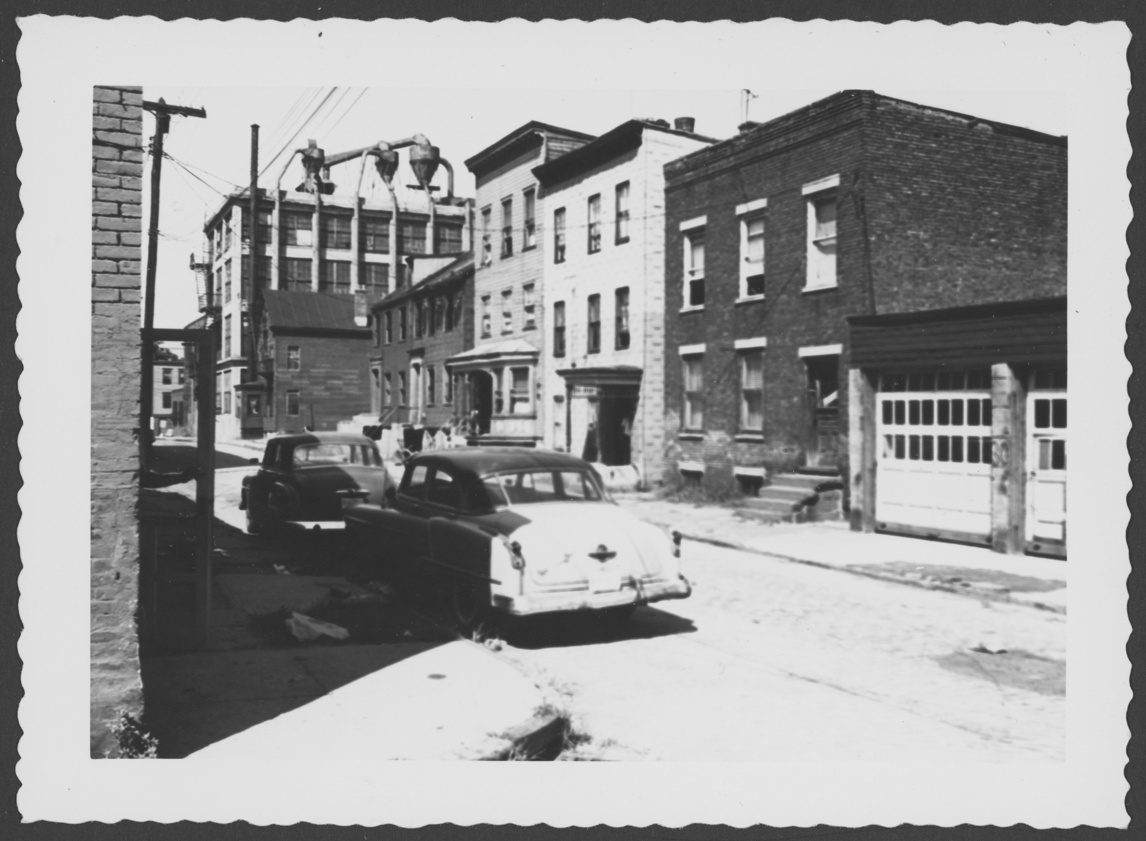
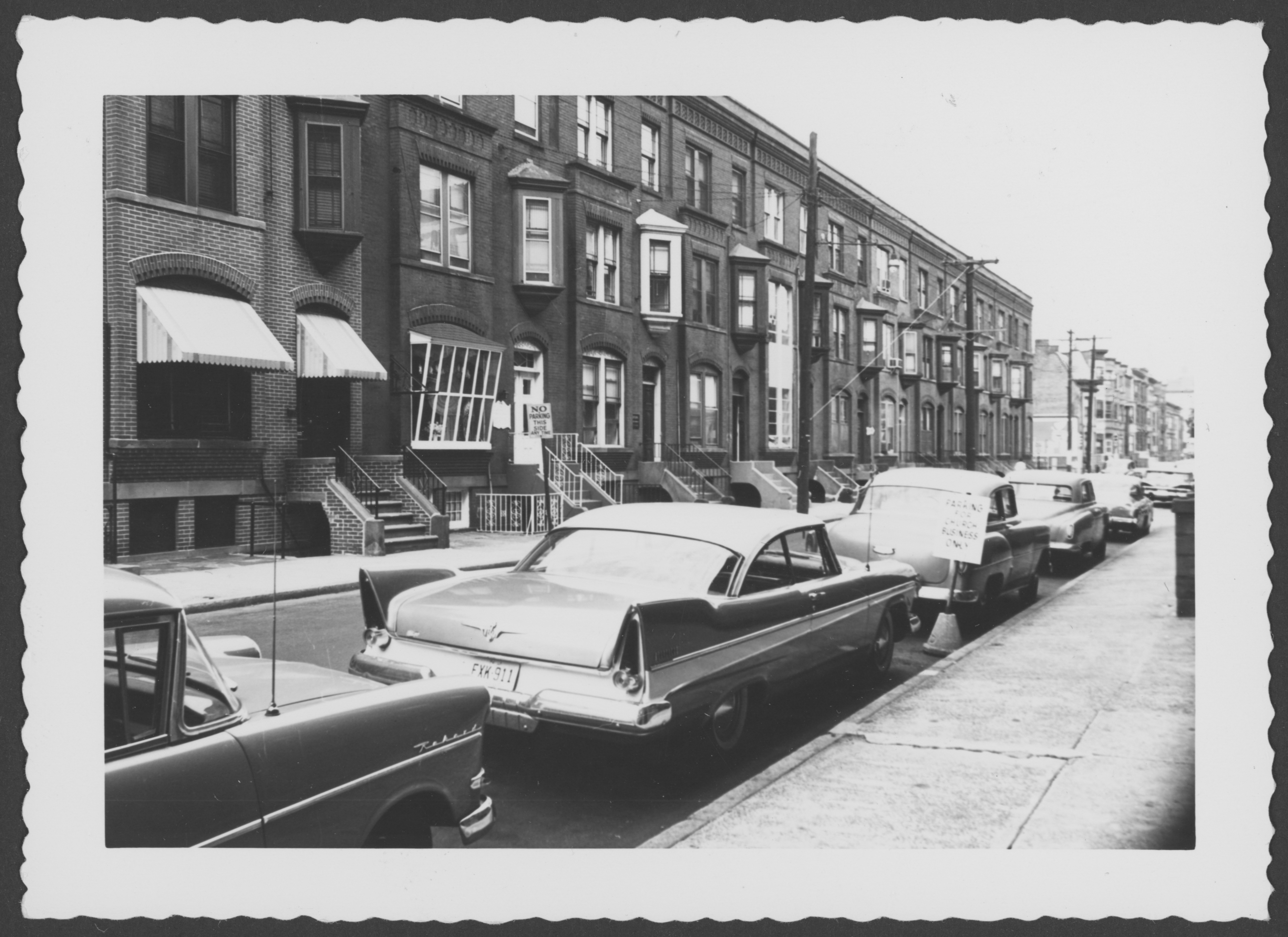
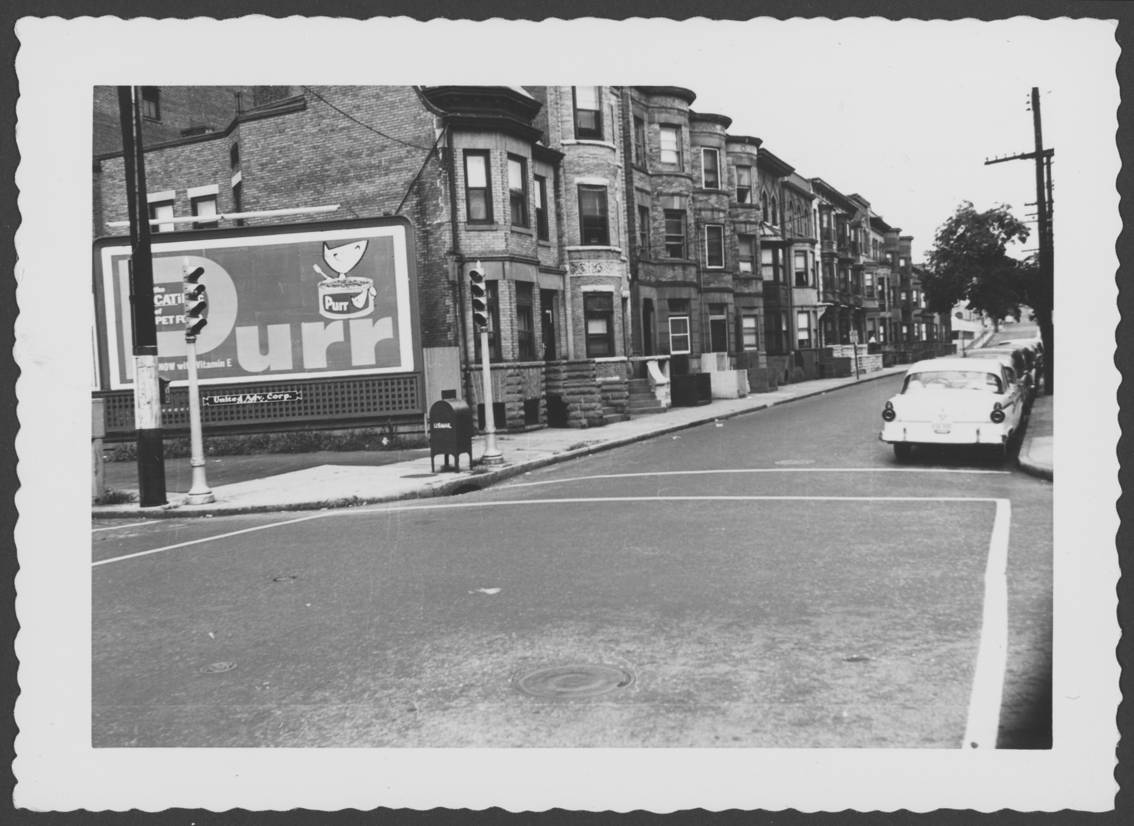
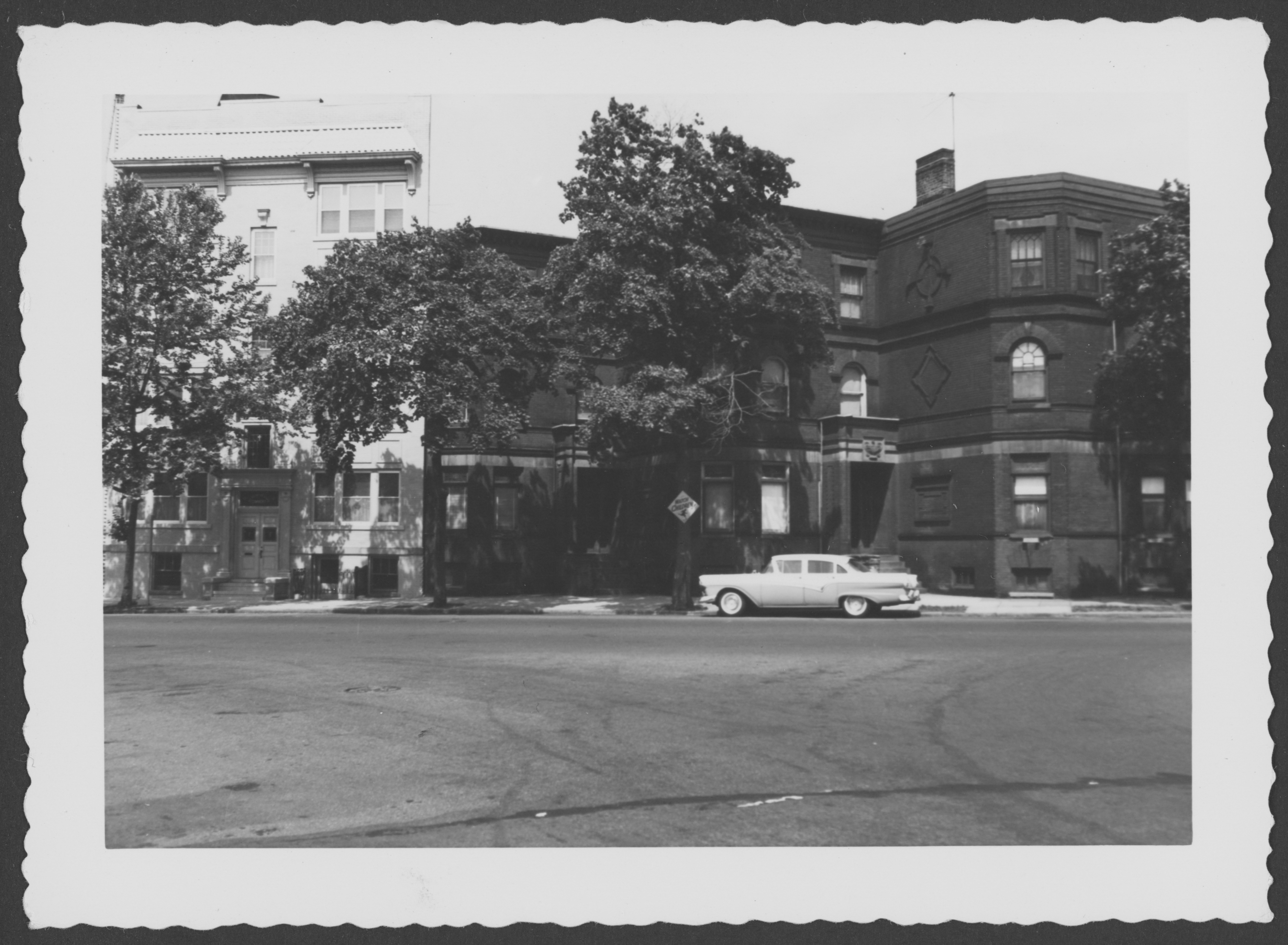
​Rochelle Pleasant writes:
“I was so glad I came across your website with pics of areas near my childhood home. I walked Watson Ave, Peshine Ave, and other streets described. I wondered if you have a photo of Conklin Ave. in your photos you took?. Conklin Ave was one block from Seymour Ave to Osborne Terrace sandwiched between Yates and Nye Avenues. There was a synagogue on the corner of Conklin Ave and Osborne Terrace.

“A lovely community with a variety of races with children that played with one another. Some of us who lived there still communicate with one another. Sadly, our street was demolished and our family moved in 1968 due to the building of Highway 78. Our families fought for 10 years against the decision. It still pains me to think of having to move and our home no longer in existence, but, the good memories while living there warm my spirit. If you have any pics or know of organization or agency that may have pics, please let me know. Thank you for creating this site so people won’t forget these communities long displaced. This is history that needs to be shared to a larger audience.​”

S side Orange St looking SW from NW corner North 13th St

J Muse (Anne’s Grandbaby) writes:
“Absolutely fabulous work. I can only imagine the time and dedication and research it took to make this site a reality. I wasn’t even born at the time these majestic buildings and stores were intact. Even still, it felt like a trip down memory lane. Thank you for your time and devoted effort. This should be done in all urban cities across the nation!!!”

Kitchell St looking S from Centre St

Veronica Battle writes:
“Thank you for the old pictures from Newark Changing 1950’s to today. I grew up in Newark. Mainly in the Clinton Hill & Weequahic Sections. I remember when they were demolishing some parts of these areas. Did you take any photos of the areas of Wainwright, Leslie, Hobson, Dewey, Bragraw, Schley Fabyan and surounding streets. These streets, homes and people were displaced because of I-78. They didn’t completely finsh I-78 until the early 1980’s.”

N side Avon looking NE from SW corner Bergen

John-Paul DeRosa​ writes:
“My great-aunt Eleanor Britton​ lived at 204 Avon Avenue in Newark, worked at 192 Market next to Four Corners, studied drawing and costume design at the Fawcett School evenings on Academy St, and attended the Clinton Avenue Presbyterian Church.
“​Her diary is all about her social life and it is chiefly concerned with fashion, boys, dance, etc. She mentions dozens of businesses and I have tracked down most of them, along with nearly half of the 180 people mentioned by name. Later, from 1931-1938 she again wrote diaries in Newark and mentions some 3,000 or more people in her social life during that time.​”

E side Searing St looking N from NW corner Summit Place is now the campus of the Newark College of Engineering.

Anthony DiPalma​ writes:
​”I was actually born and lived my first years on the West Side of that same street: at 23 Searing Street. It is unfortunately not in the photo – except for a small portion of the garage.​ I would give anything to see a picture of that building or of that side of the street before it was torn down​.”

S side James St looking W from opposite #18 is now a parking lot

Tony Russo (pseudonym) writes:
“That car in the foreground looks just like the car I owned. When they built those monstrous skyscrapers in the 1970s, the work crews were all Italians. They were mafia. They hired vandals and homeless to go in these homes and set them on fire, in order to justify demolition. Everybody lost. Nobody won. Nobody won because the parking lot and skyscraper they built in place of these homes is now empty and has so few tenants. You could say that the bad blood came around. The animals. They tore up our beautiful neighborhood for this.”

Wiss Building, W side Littleton between West Market & 11th Ave

D​amon Pressman writes:
“I’ve been doing research on Newark, specifically from about 1909-1923. My great-great grandfather apparently had a luggage factory at the corner of Seventh and Summer Streets. He was Max Naidis, and the M. Naidis Trunk & Bag company operated there during this time. It’s an empty lot now​.​”

N side James St looking W between Eagles & Burnet

James Hollaway writes:
“I grew up on this street. On the corner was the Armel “French Ice Cream” shop. Next door there was a candy shop. And next to that a Chinese laundry. I bought ice cream and candy there ever day. One block down was Frank’s Meat Market. When Mr. Frank grew old and left town during white flight, I bought his shop. I had just returned as a GI from the Vietnam War, and it was the first business I owned. I put my heart and soul into that place, selling meat to all the neighbors on my street. One day, some youths came into my shop and held me up at gunpoint for my money. That was it for me. I closed my shop the next day. My old meat shop is now a corner store church. It belongs to my neighbor Bernard Wilks from Dominion Fellowship Ministries.”

Bill Chappel writes:
“One day the City came and demolished the ice cream shop, the candy store, and the Chinese hand laundry. My house is right next door and shared a party wall. I was afraid that my house would collapse along with it. The laundry is now a vacant lot and our neighborhood dog park. The City owns the land, and it’s their job to mow the lawn. A few years ago, I called the City to tell them this, and they told me they had forgotten this land was still theirs. So I took it on myself to mow the grass with the machine Mr. Hollaway bought me. As I get older, keeping this vacant lot clean gets more and more difficult.”